Légende
Bicycle paths
On-road cycle lanes
Shared circulation
Road
Cycle trails / Cross-border routes, Cycle trails / Regional circular cycle trails +50 km
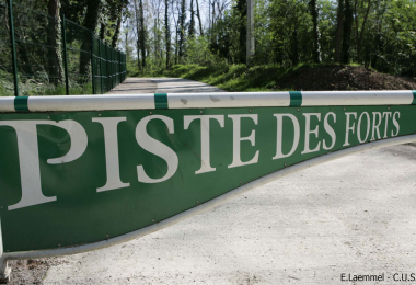
The Forts trails
Distance
88 km
Difficulty
Occasional practice
Elevation
117 m
Departure town
Lauterbourg
Arrival town
Dahn
Zone géographique
Vélo Strasbourg et nord
Meilleure période
Spring
Summer
Fall
The Forts Trail (Piste des Forts) is a Franco-German cycle route combining heritage and nature in and around Strasbourg. Over 85 km, on both sides of the Rhine, cyclists can sample delights ranging from the Hausbergen hillside to the Ortenau countryside, the Rhineland forests of Illkirch-Graffenstaden, and the Wantzenau woodlands, while at the same time discovering the 19 fortifications making up the “Ring of Forts”.

